Development Seed Labs
Satellite Imagery Power Tools
Landsat-util makes it easier to work with open satellite data
Landsat-util is a command line utility that makes it easy to search, download, and process Landsat imagery. It helps NGOs, small government agencies, and researchers to benefit from open satellite data.
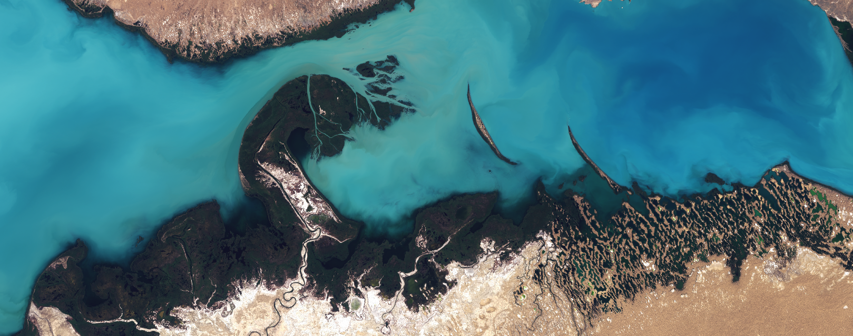
The Landsat Program has provided continuous imagery of the earth to the public since 1972. The newest Landsat satellite, Landsat-8, has sophisticated sensors like thermal infrared, which we use to detect fires, and near infrared, which we use to measure vegetation health. Landsat-8 has collected nearly two petabytes of open imagery data. This is an incredibly powerful data source for NGOs, researchers, municipal governments, and government agencies in developing countries. It is useful for everything from urban planning to detecting the effects of climate change.
Landsat data is still difficult and time consuming to work with. The same NGOs and small government agencies that stand to benefit most from Landsat data often lack the specialized technical expertise to process it. Over the past few months we’ve built tools to automate our own work with satellite imagery. It once took us all day to collect, georeference, composite, color correct, and pan-sharpen imagery. Now, we can do it in a matter of minutes. We’ve packaged our processing scripts into a command line utility. Landsat-util makes it easier for other developers and organizations to work with open satellite imagery.
Landsat-util does three things well:
- It searches loads of Landsat metadata,
- It makes downloading easier,
- It processes the data, with natural color-correction and pansharpening, and gets it ready for use in Mapbox Studio or your tool of choice.
For more information on using Landsat-util, see the documentation or this handy guide by @jqtrde