With Humanitarian OpenStreetMap Team
OpenAerialMap
A commons of openly licensed satellite and drone imagery

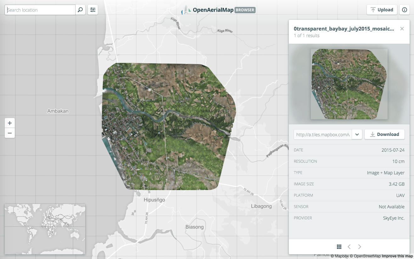
OpenAerialMap (OAM) makes it easy to find open satellite and drone imagery online. In partnership with the Humanitarian OpenStreetMap Team, Azavea, and Stamen, we created a set of tools to support the humanitarian community during disaster response. To help these first responders, we built a user-friendly interface to search, preview, and download open satellite and drone imagery quickly and easily.
Timely and accurate aerial imagery after a disaster is a critical response tool. Knowing the extent of the devastation, the locations of displaced people, and what infrastructure survived provides critical information for aid response. In the face of these challenges, we created an infrastructure to organize, process, and provide petabytes of open imagery to response teams.
Lead with user interface design
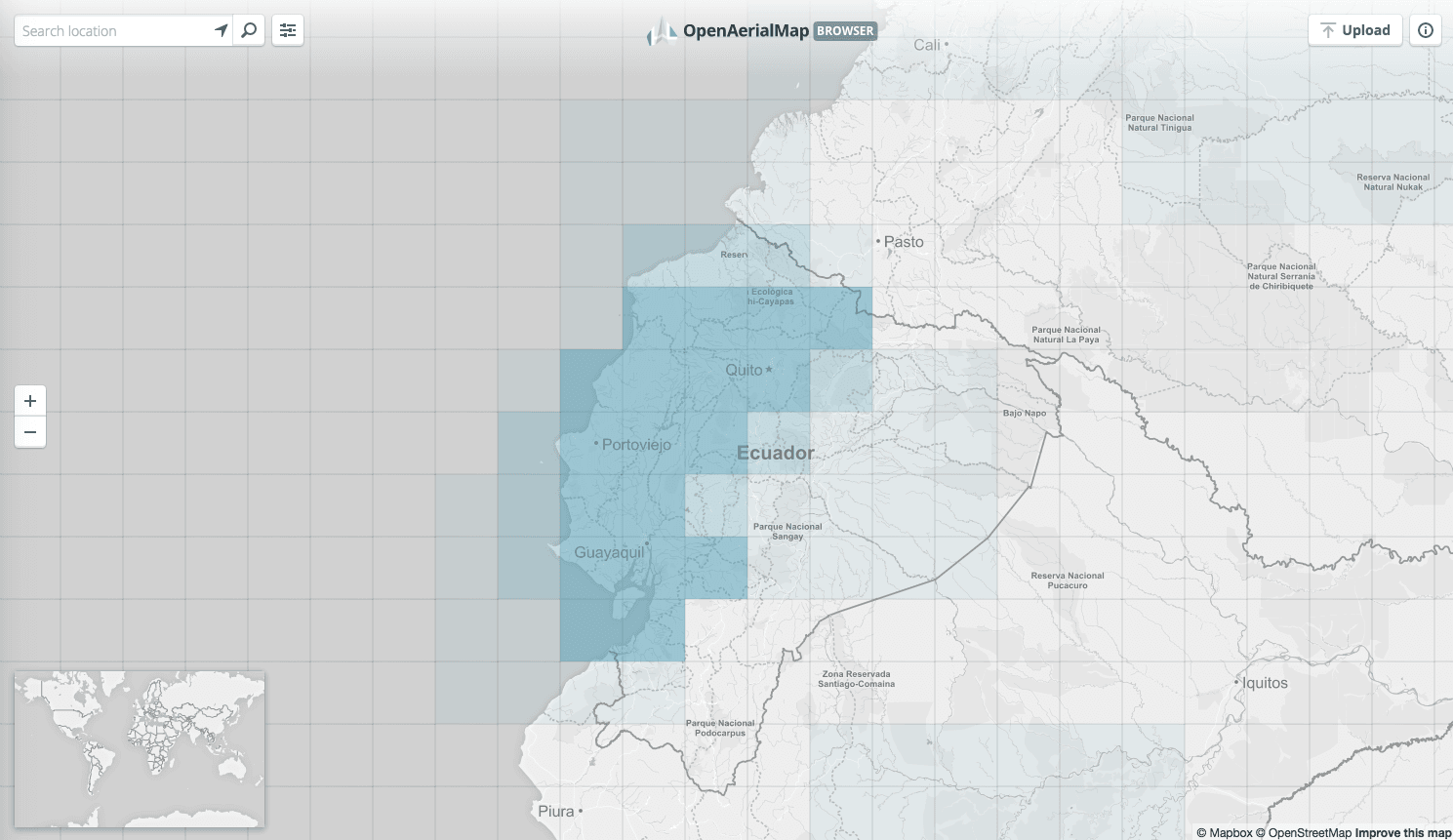
Despite the massive amounts of data OpenAerialMap offers, we strove to design a simple and easy to use interface. Building from scratch, we used an agile process to work quickly and iteratively, testing our design and infrastructure assumptions early on. We launched an initial product in just six weeks. Being able to show users this initial version revealed what worked and what did not. This allowed us to iterate our way to more intuitive features and a clean, modern interface.
API Driven
To provide users and other developers with a fast and extensible system, we built OAM on a robust application programming interface (API). The API provides a RESTful index of all available imagery, map layers within the system, imagery metadata information including endpoints, and simple analytics. Also, to encourage the development of additional tools, OAM provides open access to its API.
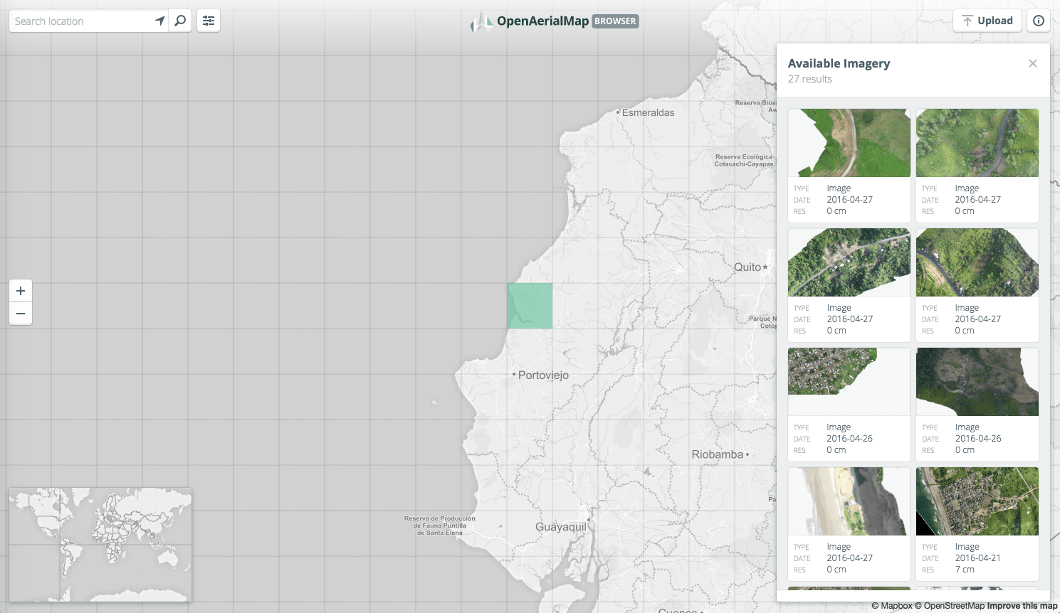
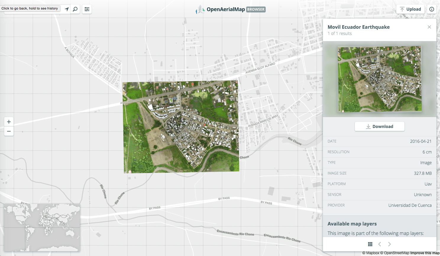
A growing community
Since OSM’s launch, its database of imagery continues to grow. Most recently, the UAViators Network helped coordinate the collection of drone imagery in the aftermath of the April 2016 earthquake in Ecuador. Volunteer groups published and made this amazing imagery available on OAM and for tracing in OpenStreetMap.
Follow our progress on GitHub as we continue to work with the OAM community to improve and grow the platform.