Infrastructure
Transport Planning
Rapidly assess and improve your road network.

Introducing Taurus
Taurus is a set of tools to help road planners collect and manage road data. Road planners manage billions of dollars of public funds for road projects, yet they often do so without a map. Taurus helps them make better investment decisions. It collects data on road geography, current conditions, and previous funding, and makes it easily accessible.
Taurus is modular, and can be configured in different combinations for specific needs. Development Seed is working with partners to deploy Taurus in six countries.
Collaborative Road Management
Taurus solves the problem of many government agencies sharing diffuse responsibility. At the core of Taurus is Macrocosm, a powerful collaborative mapping platform. Macrocosm starts with the software that powers OpenStreetMap, and builds in tools for planning, project evaluation, and asset management.
With Macrocosm, common understanding at every level comes standard.

Mobile surveying
Macrocosm amplifies mappers’ work by integrating with mobile surveying apps, such as Mapillary, RoadLab Pro, and Routeshoot.
You can crowdsource road geography, surface type, and current conditions, and track contributions through a management dashboard. You can even add badges and leaderboards to reward contributors.

Streaming data from satellites
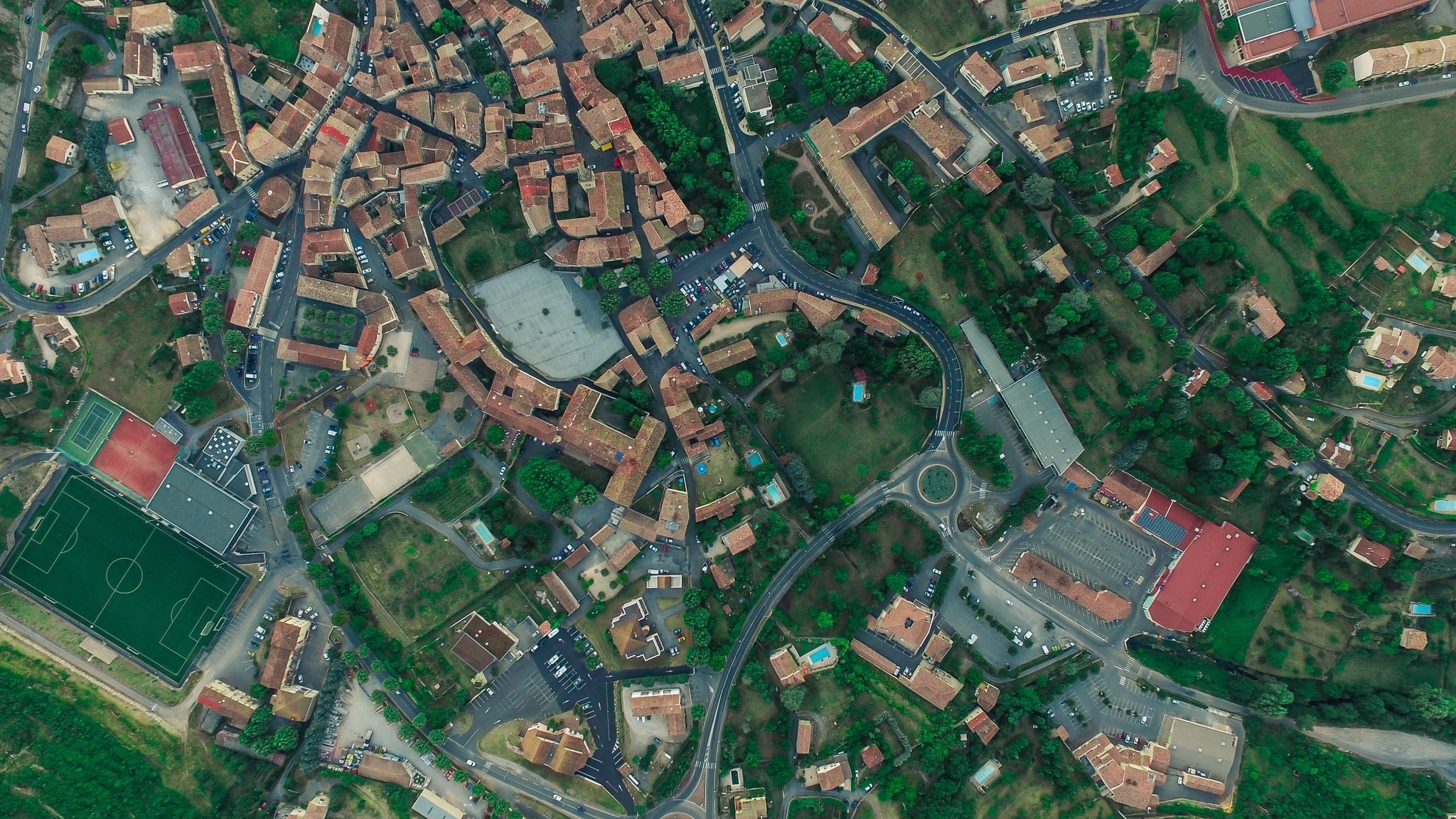
Taurus integrates with our Skynet suite of machine learning tools to extract road information from high-res satellite and drone imagery.
Through partnerships with Digital Globe and Planet, streaming data from satellites can ingest directly into Taurus, mapping entire countries and monitoring for changes over time.

Powerful analytics
Taurus comes management tools up to the task of dealing with streaming, real-time road data.
- Auditing tools evaluate the completeness and quality of the map
- Intuitive tasking lets managers fix errors quickly
- National snapshots illustrate the state of the network
- Link roads to management and budget authorities
- Track current and proposed projects
- User contributions show who’s active

Roads that serve everyone
Taurus incorporates Rural Accessibility Map (RAM), a powerful scenario planning tool. RAM models how different planning projects affect access to key services.
Building a road network that serves all citizens is vital to meeting Sustainable Development Goals (SDGs). RAM makes this possible.

Are you working on road planning?
Contact us to talk about how we can work together. We are seeking research partners, team members, and clients that are interested in improving road networks with better tech and data.